The Surveying + Mapping industry is experiencing an exciting time with advances in technology, data capture, and 3D scanning systems. And we’re keeping pace with the advancements being made and utilizing the industry’s most innovative tools for transportation and utility infrastructure, and site design projects.
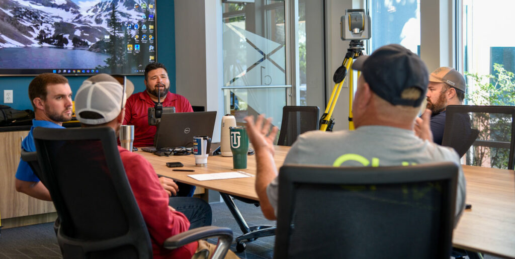
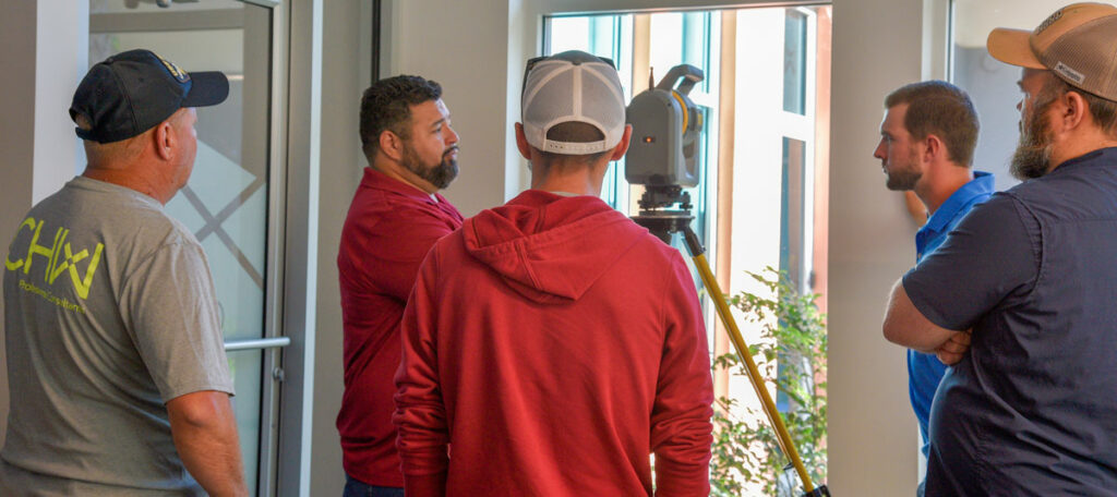
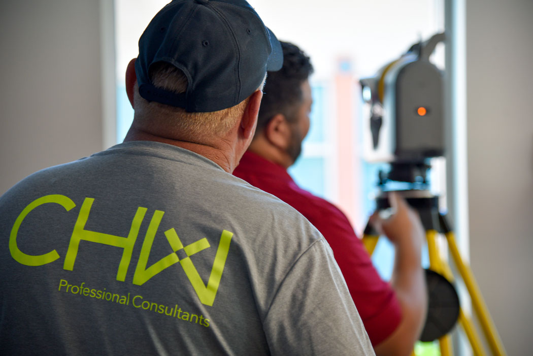
We recently hosted training for the Trimble SX10 Scanning Total Station a revolutionary solution that combines surveying, imaging, and high-speed 3D scanning, and invited members from our field crew, CADD, and project management, teams.
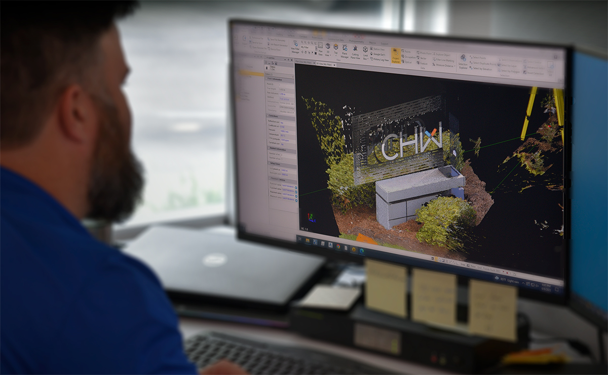
Our dynamic team leverages these tools to accurately collect data points for surface modeling and visualization to communicate a project seamlessly through the design and approval process and into construction completion. These abilities allow CHW to provide point clouds with a high level of detail while keeping personnel out of potentially dangerous intersections or confined spaces.
