Wetland Delineation
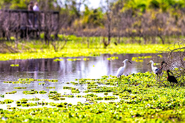
Wetland delineation involves identifying and mapping the boundaries of wetlands on a particular piece of land and is typically performed by qualified professionals with training in wetland ecology and hydrology. The process involves a site visit, data collection, evaluation using wetland indicator criteria established by the U.S. Army Corps of Engineers (USACE), and mapping of the wetland boundaries. Wetland delineation is often a required step in the process of obtaining wetland permits for activities that may impact wetlands and helps to ensure that these important habitats are protected and conserved.