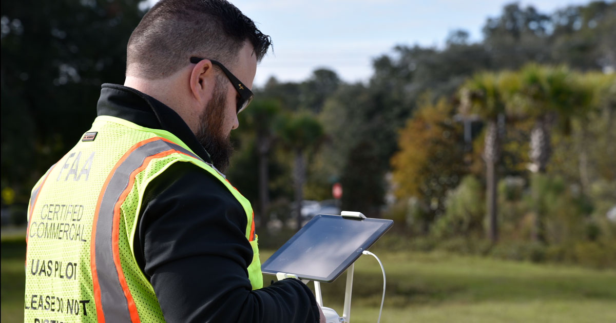
It’s #NationalSurveyorsWeek! National Surveyors Week is designed to raise awareness of the surveying profession and was proclaimed nationally by Ronald Raegan in 1984.
CHW has been providing professional surveying and mapping services for over 30 years. Our team of professional land surveyors focuses on cost-effective, accurate data collection and mapping for land acquisitions, site development, residential and mortgage surveying, land planning, architectural, and civil and transportation engineering designs.
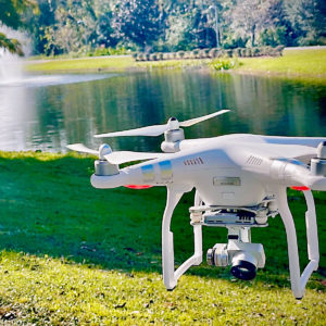
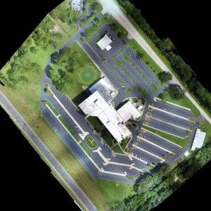
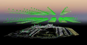
Our team of land surveyors measure and map just about everything on the land, in the air, or in the ocean. Recently we completed aerial mapping for a boundary survey at the Florida Farm Bureau Building in Gainesville, Florida. Using an unmanned aerial vehicle (UAV), the CHW team located 13 aerial targets along 1-75 and SW 34th street, saving valuable field time needed to locate all the features.
Aerial mapping, using unmanned aerial vehicles (UAVs), can capture data from above to perform land surveys, photogrammetry, 3D mapping, topographic surveying, and more.
Our passion empowers progress, and our growth wouldn’t be possible without the precise work performed by our Surveying + Mapping team
