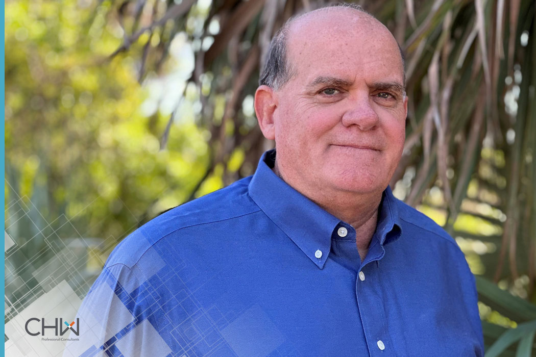
Gainesville, Ocala, Jacksonville, Fort Myers, FL – CHW Professional Consultants, a leading planning, ecological, surveying, engineering, landscape architecture, and construction services firm is proud to announce James Michael Condon, PSM, as Director of Surveying + Mapping, leading our Southwest Florida office.
James is a Professional Surveyor and Mapper with over 33 years of experience in the private and public sector, overseeing the production of ALTA/NSPS land title surveys, boundary and topographic surveys, geodetic control surveys, as-built surveys, elevation certificates, and FDOT right-of-way and control mapping. As Director of Surveying + Mapping at our Ft. Myers office, he will provide strategic oversight and direction to help expand CHW’s diverse service offering to Southwest Florida markets.
“We are thrilled to have James as a member of the CHW leadership team,” said Dave Dagostino, PSM, Vice President. “His extensive 20 years’ experience with FDOT right-of-way and control mapping will enhance our capabilities to provide quality service to our clients. James’ experience in project management and office support makes him an excellent leader for our Southwest Florida office. ” Prior to joining CHW in January, James worked with Dave for seven years as a Florida Professional Surveyor and Mapper with Dagostino Geospatial, Inc.
About CHW Professional Consultants
Founded in 1988, CHW Professional Consultants is a multi-disciplinary firm providing civil engineering, land surveying, land development planning, ecological services, landscape architecture, transportation planning and traffic engineering, and construction services, to clients in the private and public sectors. CHW’s 100+ employees proudly collaborate with municipalities, state agencies, developers, landowners, utility companies, and industrial, healthcare, education, and nonprofit clients from project concept to completion, taking a customized approach to every project. CHW delivers world-class performance focused on creating effective, long-term partnerships with its clients.
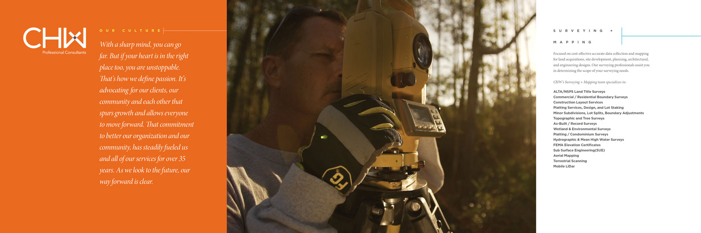
CHW’s Surveying + Mapping team remains focused on cost-effective accurate data collection and mapping for land acquisitions, site development, planning, architectural, and engineering designs. Our surveying professionals assist you in determining the scope of your surveying needs specializing in:
+ ALTA/NSPS Land Title Surveys
+ Commercial / Residential Boundary
+ Construction Layout Services
+ Platting Services, Design, and Lot Staking
+ Minor Subdivisions, Lot Splits, Boundary Line Adjustments
+ Topographic and Tree Surveys
+ As-Built / Record
+ Wetland & Environmental Surveys
+ Platting / Condominium Surveys
+ Hydrographic Surveys
+ FEMA Elevation Certificates
+ Subsurface Utility Locations
+ Aerial Mapping
+ 3D Scanning Systems
+ Terrestrial Scanning
+ Mobile LiDar

