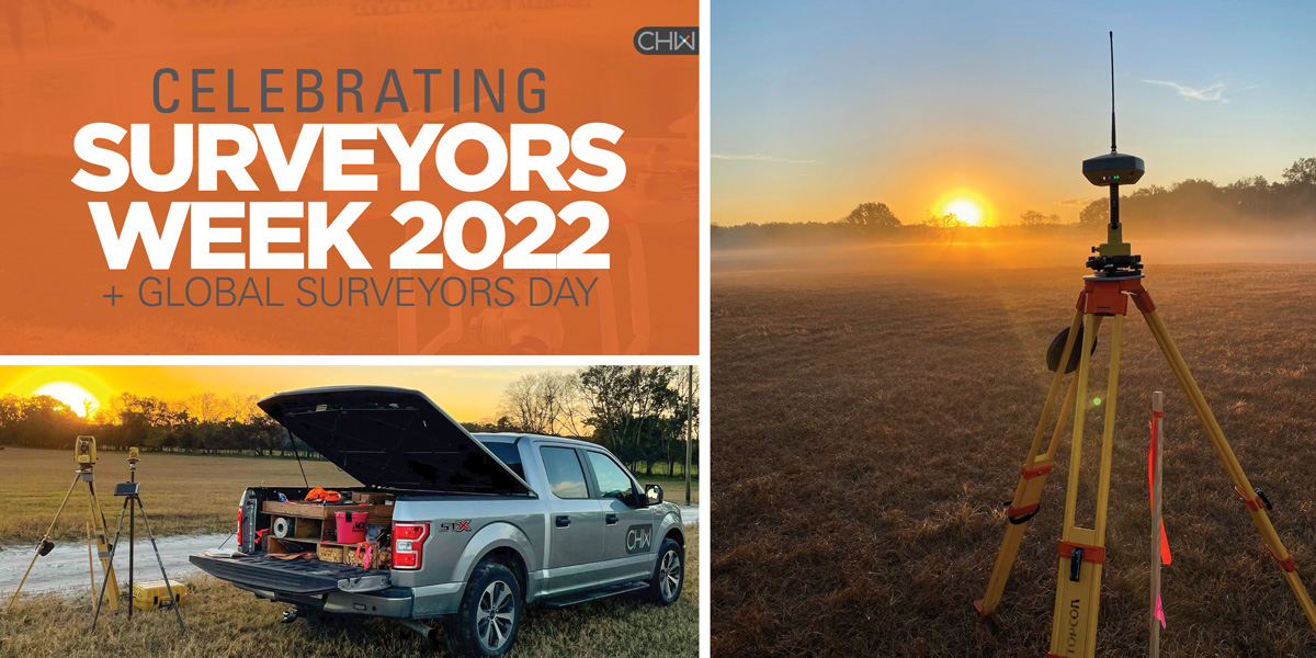
We’re celebrating our team of professional surveyors, survey field crew, and CADD technicians on Global National Surveyors’ Day and #NationalSurveyorsWeek! Our talented team focuses on accurate data collection utilizing advanced technology such as GPS, 3D laser scanning, robotic survey equipment, and unmanned aerial systems (UAS) to measure and map just about everything on land, in the air, or in the ocean.
National Surveyors Week is designed to raise awareness of the surveying profession and was proclaimed nationally in 1984, but the profession’s place in world history began much earlier. Surveying is one of the oldest known professions with the first land ownership record creation by an Egyptian Land Register as early as 3,000 BC. George Washington, the first president of the United States, began his career as a surveyor, mapmaker, and solider. CHW’s own history is centered around land surveying and mapping with CHW (as Chance & Causseaux) opening its door in 1988 offering Surveying + Engineering in Gainesville, Florida.
Find out more about what surveyors and mappers do in our article, What is Surveying and Mapping. And stick around this week as we share more about our growing team and our dedication to an industry we’re excited to support.
Investing in the future
Thank you UF Geomatics Student Association members for joining the CHW Surveying + Mapping department at our HQ Office in Alachua, Florida last week. We loved talking shop, exciting projects, internship programs, and learning about your professional goals.
Did you know almost 2,500 licensed surveyors and mappers call Florida home? The UF Geomatics (GEM) Program began in 1973 and offers ten areas of study to prepare students for a wide range of occupations in the industry. Learn more at the University of Florida’s website.
GSA members – until next time!
Growing with the industry
CHW is pleased to announce the promotion of A. Kevin Smith, PSM, CH, to Director of Surveying + Mapping. Kevin is a licensed professional surveyor and mapper and certified hydrographer with over 11 years of experience managing civil and utility construction projects, subsurface utility engineering, and hydrographic survey operations. In his new role, Kevin will help lead CHW’s expansion into new markets and technologies by streamlining department scheduling and onboarding new scanning systems.
The Surveying + Mapping industry is experiencing an exciting time with advances in technology around data capture, and we’re excited to grow and expand our team and offerings in kind. Congratulations, Kevin, on your well-deserved promotion!
Read the full press release:
Providing a Solid Foundation
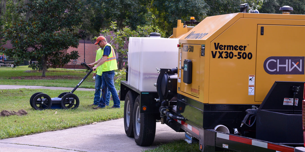
The planning and execution of nearly every successful infrastructure project begin with the daily work of professional surveyors, survey field crew, and CADD technicians. CHW’s Subsurface Utility Engineering (SUE) crew accurately locate and identify underground utilities and provide a clear foundation to support CHW’s planning, design, and engineering teams.
Find out more about Subsurface Utility Engineering at bit.ly/CHW-SUE-Services.
Thank you CHW Surveying + Mapping Team
Rain or shine (and many critter encounters), CHW’s entire Surveying + Mapping team are some of the hardest working in the industry and we thank you for your dedication. We tip our hats to the 45,000 professional land surveyors nationwide, men and women in the field, and in the office, who support this great industry. Learn more about the CHW Surveying + Mapping team now.
Our amazing field crew members shared just a glimpse of their daily encounters with us this week. Check out these amazing views!


